
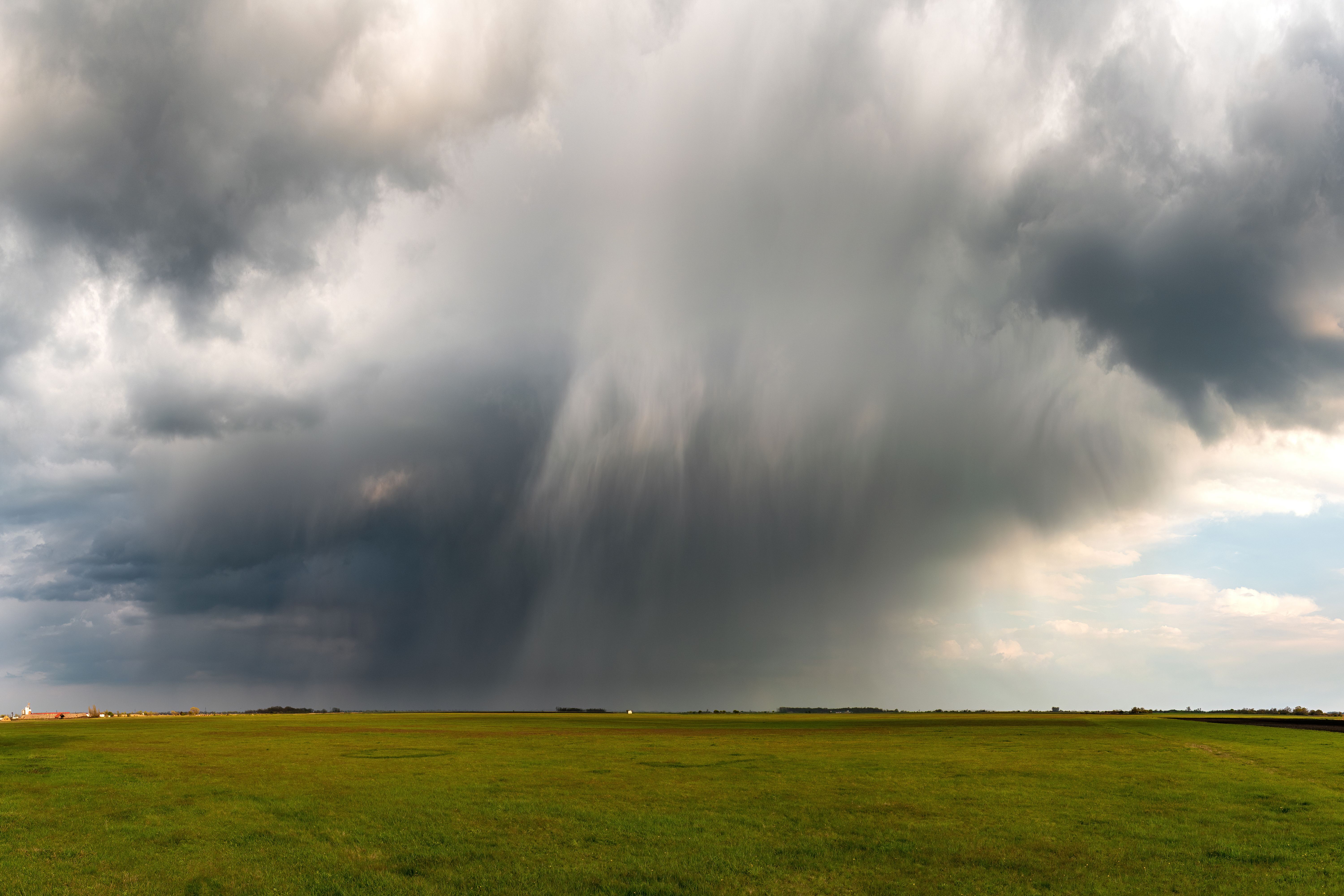
Rotating storms are far more common than tornadoes. Most produce none, and identifying which will is the central unsolved problem in tornado forecasting.
Where the rotation begins
Wind that changes direction and speed with height creates horizontal spin in the lower atmosphere, like a rolling tube lying on its side.
A strong updraft tilts that tube upward and stretches it, and stretching a rotating column makes it spin faster in the same way a skater speeds up by pulling in their arms.
The result is a broad rotating updraft several miles across, which is the defining feature of a supercell and is detectable on radar.
Why that rotation is not yet a tornado
The storm-scale rotation is wide and comparatively slow, and it sits well above the ground rather than reaching the surface.
A tornado is a far smaller and much faster vortex extending to the surface, and concentrating the storm's rotation into it requires an additional process.
Many storms maintain broad rotation for hours without ever producing that concentration, which is why rotation alone is insufficient grounds to expect a tornado.
What the downdraft appears to contribute
Air descending on the rear flank of a supercell wraps around the updraft and reaches the surface, spreading outward near the ground.
That descending air carries rotation of its own and appears to supply the near-surface spin the storm cannot generate directly.
Its temperature seems to matter: downdraft air that is only slightly cooler than its surroundings can be lifted back into the updraft, while colder air undercuts the storm and shuts the process down.
Why the low-level environment decides it
Storms are more likely to produce tornadoes when the air near the ground is humid and the cloud base is low, which keeps the downdraft from cooling excessively.
Strong turning of the wind within the lowest thousand feet supplies rotation where it is needed, and this parameter carries more forecast weight than deeper measures.
These are the conditions forecasters examine most closely, because they distinguish a day of rotating storms from a day of tornadoes.
What remains genuinely unresolved
Field campaigns have sampled many supercells, and storms that produced tornadoes have looked similar to storms that did not until minutes before.
The differences appear to lie in fine-scale structure near the ground, at scales that operational radar cannot resolve and that models represent only approximately.
This is why warnings are issued for rotating storms as a class, accepting that many will not produce a tornado, rather than waiting for a distinction that cannot yet be drawn reliably.