
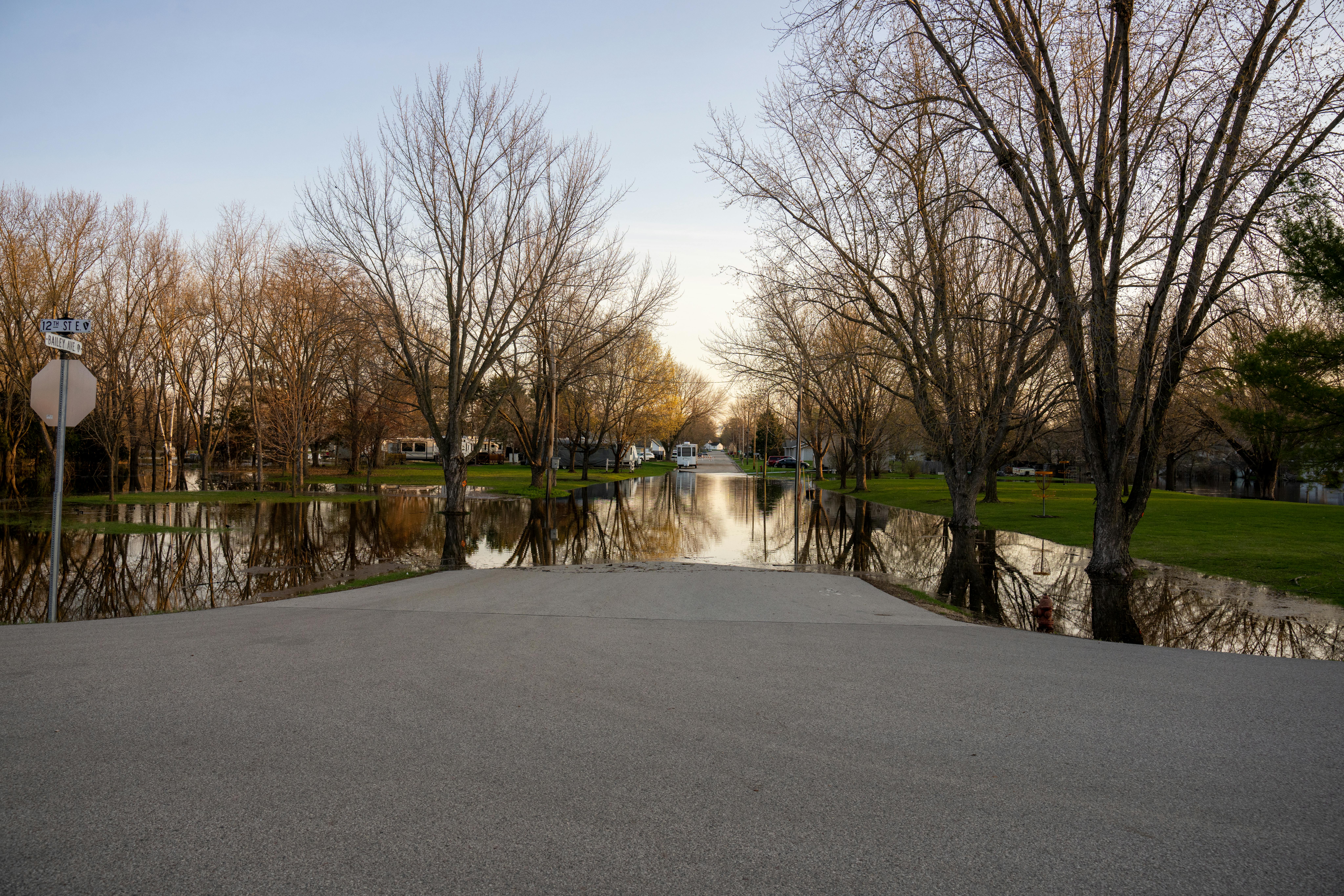
A community that experiences two hundred-year floods within a few years often concludes the label was wrong. The label is a probability statement, and repeats are entirely consistent with it.
The term describes an annual chance
A hundred-year flood is a flow with a one percent chance of being equaled or exceeded in any single year at that location.
The description carries no memory. Having flooded last year does not lower this year's chance, in the same way that a coin does not remember its last toss.
Agencies increasingly prefer the phrase one percent annual chance flood for exactly this reason, because the year-based name implies a spacing that does not exist.
Independent chances accumulate over time
Across a thirty-year mortgage, the chance of experiencing at least one such flood is far higher than the annual figure suggests, because each year offers a fresh opportunity.
The same arithmetic explains regional clustering. With many communities exposed, some will see repeat events within a short span purely by chance.
None of this requires anything unusual in the weather. It follows from treating rare events as probabilities rather than as scheduled occurrences.
The estimate is built from a limited record
Flood frequency is calculated by fitting a statistical distribution to the annual peak flows recorded at a stream gauge.
Most gauges have records measured in decades, so estimating a one percent event means extrapolating well beyond what has actually been observed there.
That extrapolation carries genuine uncertainty, and a single extraordinary flood entering the record can shift the estimated hundred-year flow noticeably.
The watershed itself changes underneath the statistics
Frequency analysis assumes the relationship between rainfall and runoff has stayed stable, which development steadily undermines.
Roofs, roads and parking lots convert rain that once soaked in into runoff, so the same storm produces a higher peak than it did decades earlier.
Channel work, levees, reservoirs and drainage improvements all alter flows as well, meaning old gauge records may describe a basin that no longer exists.
Maps show a boundary, not a safety line
Floodplain maps drawn from these estimates are used for insurance and building rules, which encourages reading them as a division between flooded and safe.
Water does not recognize the line. Areas just outside the mapped boundary flood regularly, particularly where drainage systems are overwhelmed by intense local rainfall.
A meaningful share of American flood damage occurs outside mapped high-risk zones, which is the clearest evidence that the map marks probability rather than possibility.