
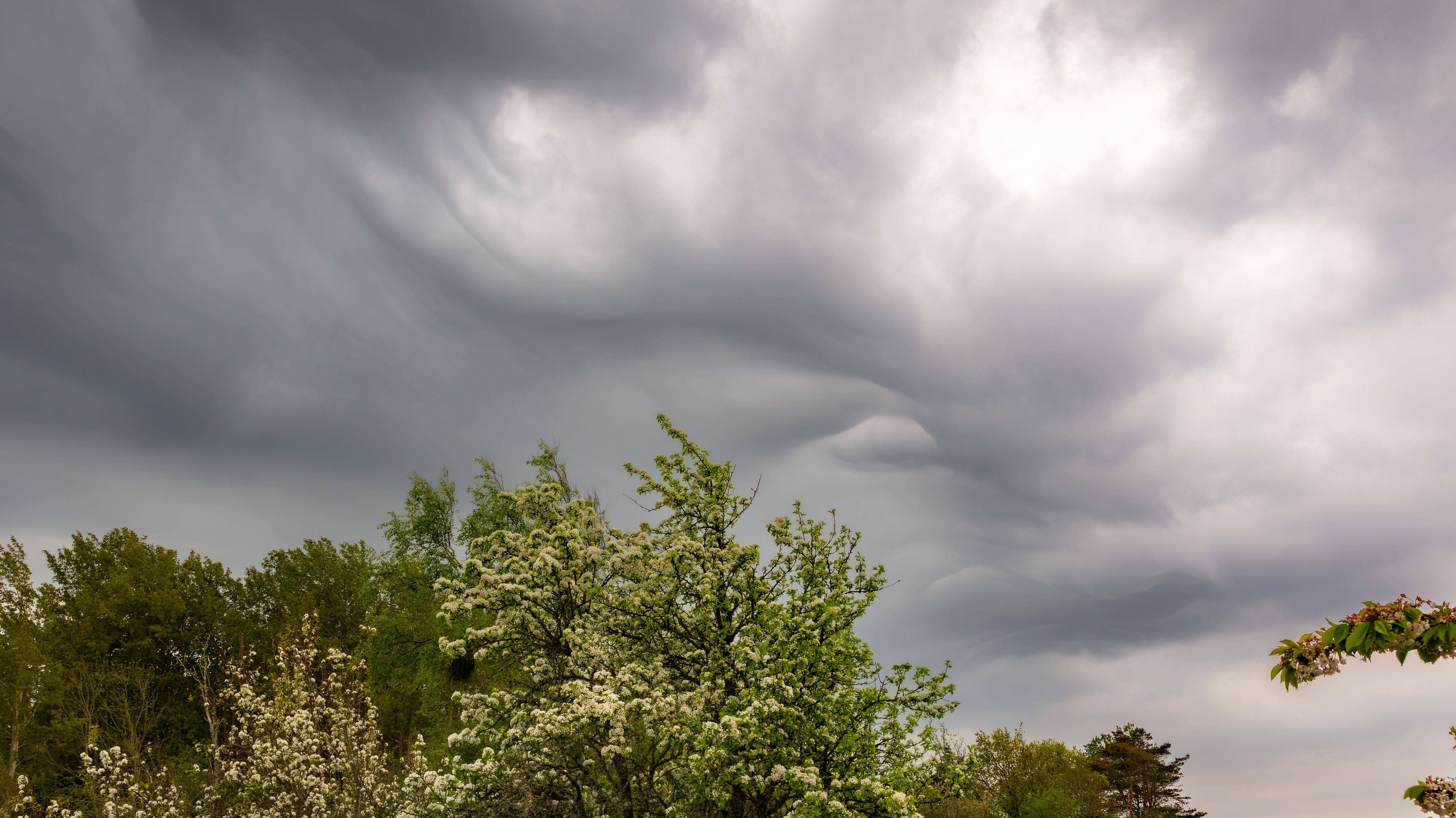
Warm air holds more water vapor than cold air, and the relationship is steep rather than gentle. That single physical fact shapes much of how weather behaves.
Saturation is a temperature limit
At any temperature there is a maximum amount of water vapor air can contain before condensation begins. That ceiling is set by physics, not by geography or wind.
The ceiling rises sharply as air warms. A modest increase in temperature raises capacity by a much larger proportion than most people expect from the numbers involved.
Relative humidity describes how close air sits to its own ceiling. The same reading in a cold morning and a hot afternoon represents very different amounts of actual moisture.
Dew point is the honest measure
Because relative humidity moves as temperature moves, forecasters lean on dew point instead. It states the temperature at which the air present would become saturated.
Dew point is roughly conserved as air is heated or cooled through the day, so it tracks the moisture itself rather than the ratio to a shifting ceiling.
That is why a summer afternoon with a high dew point feels oppressive even when relative humidity has fallen. The vapor content is high regardless of the percentage.
More available vapor means heavier rain
Rainfall intensity depends on how much moisture a storm can wring out of the air moving through it. A richer supply allows heavier bursts from the same circulation.
This is why the heaviest hourly rain totals tend to arrive in the warm season and in warm, moist air masses rather than in cold ones.
The effect concerns intensity more than annual totals. A region can receive similar yearly rainfall while delivering more of it in short, high-rate downpours.
Evaporation rises on the other side of the ledger
The same capacity increase pulls moisture out of soil, reservoirs and vegetation faster, because dry warm air has more room to accept vapor.
Drying and heavier rain are not contradictory outcomes. They are two consequences of the same capacity curve acting at different stages of the water cycle.
Landscapes can therefore experience longer dry stretches punctuated by more intense rainfall events, which is harder on soil and drainage than steadier weather.
Vapor amplifies whatever the atmosphere is doing
Water vapor also absorbs outgoing heat, so more of it in the air reinforces warming rather than acting as an independent driver of it.
That feedback is why vapor content is tracked closely in observations from balloons, aircraft and satellites, not merely as a comfort statistic.
Understanding the capacity curve explains several separate weather stories at once, from muggy nights to flash flooding to the pace at which soils dry out.