
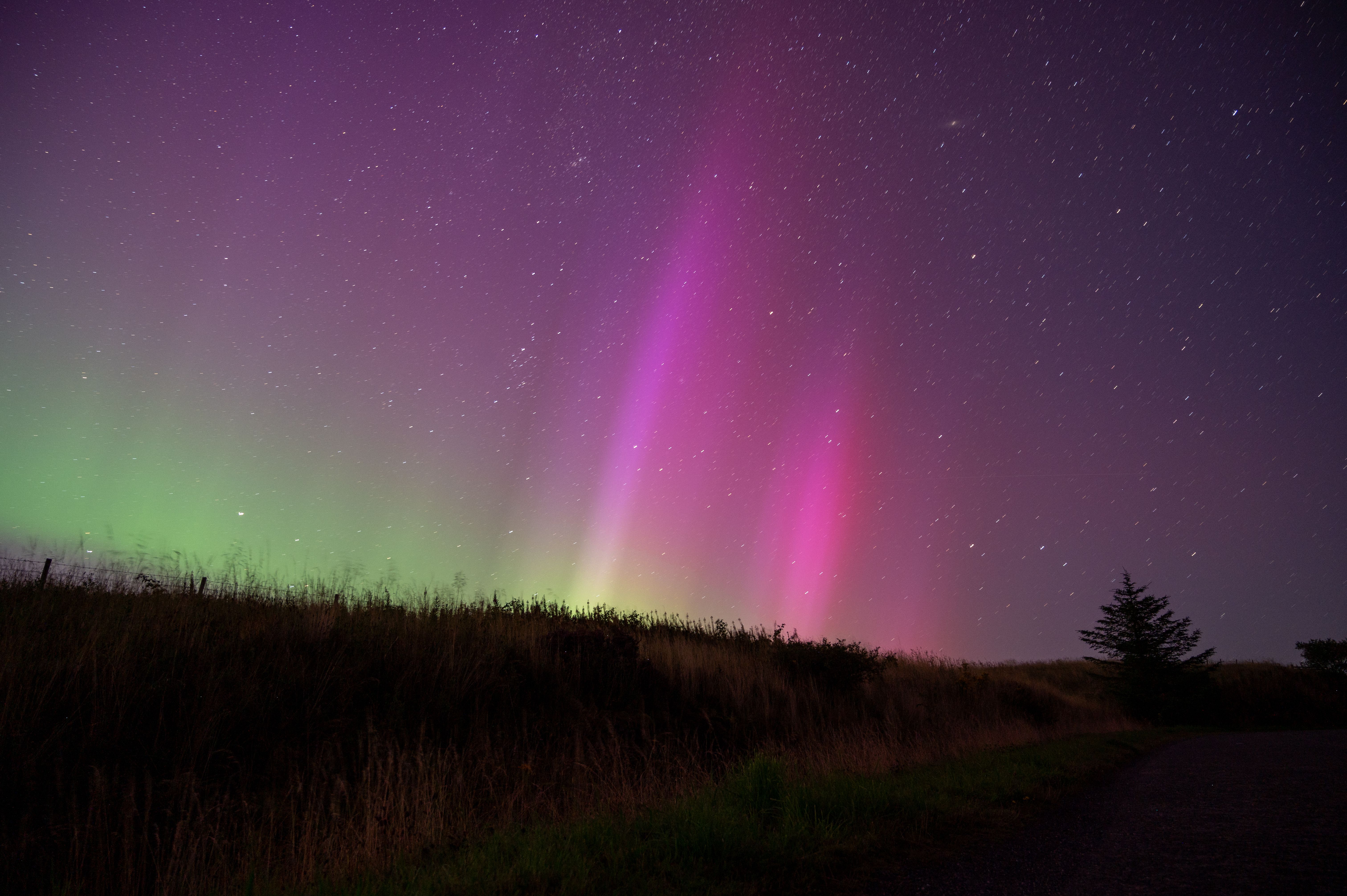
Satellite navigation appears to be a purely geometric calculation, but the signals must cross a layer of electrically charged atmosphere on their way down. Solar activity disturbs that layer and the position error grows.
How the position is calculated
A receiver determines its distance to each satellite by measuring how long the signal took to arrive, then combines several such distances to fix a position.
The calculation assumes the signal travelled at a known speed along a known path, since any error in assumed travel time becomes an error in distance.
Small timing discrepancies matter enormously, because the signal covers a substantial distance in a very short interval.
What the ionosphere does to the signal
High in the atmosphere, solar radiation strips electrons from atoms, creating a layer containing free charged particles.
Radio signals crossing that layer are delayed by an amount that depends on how many free electrons lie along the path, so the measured travel time is longer than a straight vacuum path would give.
The delay is present at all times, and receivers correct for it using models or by comparing signals transmitted at different frequencies.
Why storms defeat the corrections
Corrections assume the layer changes smoothly and predictably with time of day, season and geographic position.
A geomagnetic storm injects energy that raises electron content sharply and unevenly, particularly at high latitudes and near the equator.
The actual delay then departs from the modeled delay, and the resulting position error can grow from a matter of feet to something far larger.
How scintillation causes a harder failure
Beyond overall density, storms create small-scale irregularities in the layer that cause the signal to fluctuate rapidly in strength and phase.
A receiver tracking a fluctuating signal can lose lock on it entirely, which removes that satellite from the solution rather than merely degrading it.
Losing several satellites at once weakens the geometry and can leave a receiver unable to compute a position at all until conditions ease.
Which applications feel it first
Ordinary navigation tolerates degraded accuracy well, since roads are wider than the error and a driver notices nothing.
Precision applications fail earlier: surveying, automated agricultural guidance, offshore positioning and aviation procedures that depend on satellite guidance all have tighter tolerances.
Timing is the least visible dependency and among the most consequential, since financial and communication networks rely on the same signals for synchronization rather than for position.